By Second Lieutenant (RM2-T) Thaís Cerqueira Francisco – Rio de Janeiro, RJ
In the past, aids to navigation were created to determine the position of vessels and a safe course to navigate. Today, this system has expanded, reaching all sectors of the maritime community and is one of the main factors for the safety of navigation.
The International Day of Aids to Maritime Navigation is celebrated on July 1st. In Brazil, the Center for Aids to Navigation Almirante Moraes Rego (CAMR) is responsible for guiding and coordinating the activities of aids to navigation.
Captain Jansen Santos Poças, Director of CAMR, talks about the importance of the activity: “our traditional lighthouses, beacons, buoys, and beacons, together with technological innovations that are being implemented, such as the Vessel Traffic Service (VTS), are indispensable in safeguarding human life at sea, in the safety of maritime traffic, and in protecting the environment.
The aids to maritime navigation consist of devices, systems or services external to the vessel, established on waterways, intended to guide navigation accurately and safely, and to warn of the existence of possible dangers and obstructions.

The previous visualization of these “nautical signs” provides the necessary resources for the navigator to take the appropriate decisions, thus contributing to avoid accidents, often caused by human failure. Simply put, navigational aids are like traffic signs, using a combination of shapes, colors, lights, and electronic devices to help the driver orient himself and maintain safer driving.
In the case of the navigator, this activity is more complex, as states engineer Allan Pignaton, Technical Manager of the Hydrography and Engineering company UMI SAN: “the navigator cannot see what his ‘track’ looks like without the help of these signs, since the main obstacles are hidden under water. Therefore, a combination of aids to navigation is essential to enable the navigator to move safely from one point to another.
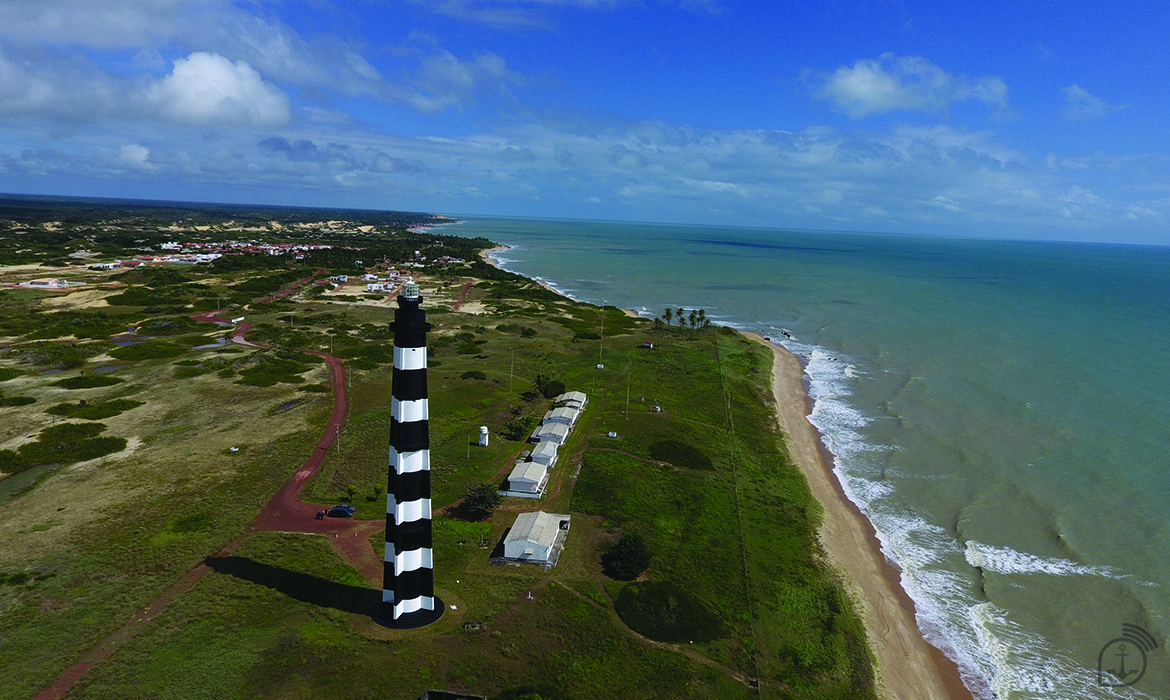
Among the most important visual aids to navigation are the Lateral Signal and Cardinal Signal Systems standardized by the International Association of Marine Navigation Authorities and Aids to Navigation and Beacons.

Besides these, the electronic aids have also become very important, especially the VTS, with updated monitoring capacity of the waterway traffic, combining radars, cameras, meteoceanographic buoys, and a 24-hour communication service between port, ship, and operators.
The VTS is currently in operation in the Port of Vitória (ES) and in the Port of Açu (RJ), and, in the future, in the Port of Rio de Janeiro. The entire navigation aid system is distributed along more than 7 thousand kilometers of coastline, where there is, on average, one lighthouse for every 26 miles of coastline; and, also, along the vast navigable network of the Brazilian waterway potential, equivalent to almost 7 times the length of the country’s coastline.

*** Translated by the DEFCONPress Team***