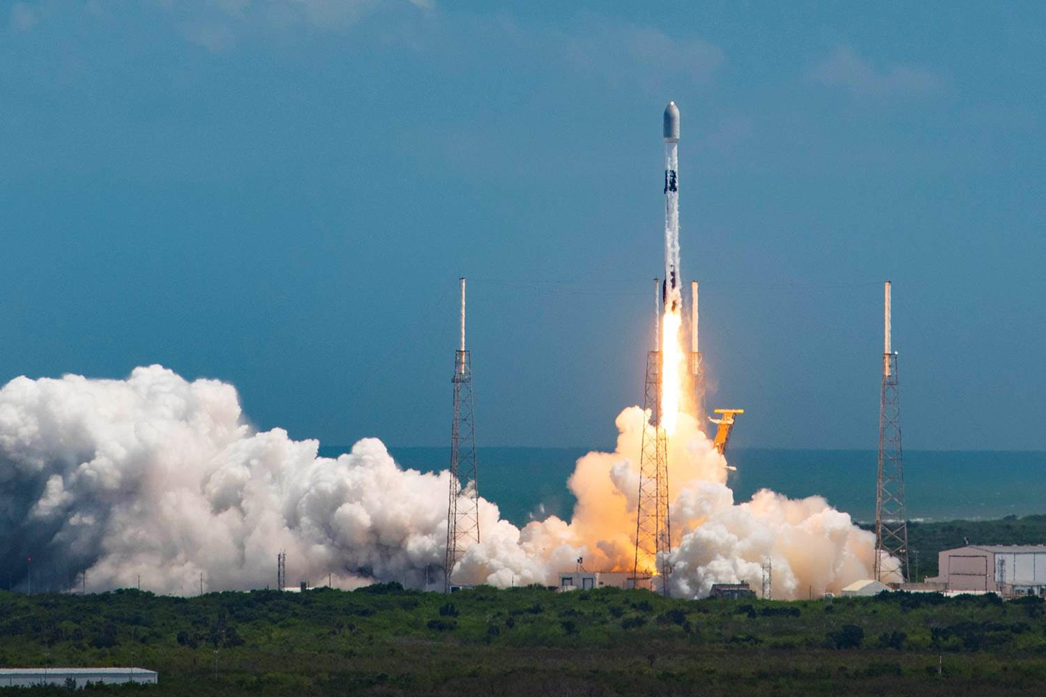
ICEYE, a global leader in persistent monitoring through radar imaging and an expert in flood and natural disaster solutions, has successfully launched five new SAR satellites, two of which will be operated by the Brazilian Air Force (FAB). All were launched on the Falcon 9 small satellite shared launch mission via SpaceX’s EXOLAUNCH from Cape Canaveral, Florida.
Communication with each satellite has already been successfully established. Since 2018, ICEYE and ICEYE US have put 21 satellites into orbit, including both commercial and customer-specific missions. Two of the launched satellites were provided directly to the Brazilian government, and will be operated by FAB in support of environmental and national security objectives, and are dual-use, i.e. civil and military.
Due to the prevailing weather in Brazil, with up to eight months of cloudy skies per year, SAR satellites, which can “see” the ground at night or through clouds, have an important advantage in collecting information to enable subsequent actions. Due to their civilian and military use, the images collected by the satellites will be useful for a number of institutions, such as the Ministry of Defense, the Air Force, Navy and Army Commands, the Ministry of Environment, the Ministry of Agriculture, the Ministry of Science, Technology and Innovations, the Ministry of Infrastructure, the Ministry of Justice, the Ministry of Mines and Energy, the Federal Police, the Federal Highway Police, etc.
ICEYE’s satellite constellation is designed to provide customers with reliable, continuous imaging, with rapid detection and tracking of changes on the Earth’s surface, regardless of time or weather conditions.
This capability is vital for governmental and commercial employment in various sectors including insurance, natural disaster response and recovery, national security, defense, humanitarian relief, and climate change monitoring. The company believes that there is a worldwide trend by governments to take advantage of and fully integrate remote sensing technologies into their information collection architectures.
Brazil will benefit greatly from the ability of radar to “see” the ground regardless of time and weather conditions. By studying the changes on the earth’s surface observed by comparing successive images of a given area, it will be possible to obtain, in a short period of time, information that will enable the quick triggering of the best response for each specific situation.
“In just a few years, the ICEYE team has already launched 21 small radar imaging satellites, which is a remarkable achievement,” said Rafal Modrzewski, CEO and co-founder of ICEYE. “The world needs these sources of true and objective data more than ever. With this launch, we will have expanded performance and ability to provide additional support to our customers and to the growth of our current and emerging vertical markets.”


“We want to bring Brazil to the prominence it deserves and democratize the use of the space. We see in the region a great intellectual potential with several possibilities to develop new technologies. We have total interest in establishing ourselves in the country and making it a Hub for Latin America,” said Ana Paula Cordeiro, ICEYE’s regional director for Latin America for business development and sales. Later this year, ICEYE plans to add up to five new satellites to its constellation, including more satellites manufactured by ICEYE US.
ICEYE provides unmatched persistent monitoring capabilities from any location on the Earth’s surface. With the largest constellation of synthetic aperture radar satellites, the company enables its customers to make objective, data-driven decisions in industries such as insurance, natural disaster response and recovery, security, finance, and maritime monitoring. ICEYE’s data can be collected day and night, even through cloud cover.
For more information, please visit www.iceye.com.
*** Translated by DEFCONPress Team ***