Technology means more security, speed and economy
By First Lieutenant (RM2-T) Thaís Cerqueira – Rio de Janeiro, RJ
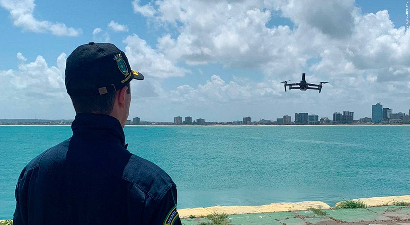
On the vast horizon of the oceans, accurate nautical charts are vital for safe navigation. They make it possible to plan and execute the course that will take the vessel to its destination safely and efficiently. Faced with the need to update nautical charts in Brazilian Jurisdictional Waters, the Brazilian Navy (MB) has been using remotely piloted aircraft (RPA), commonly known as drones. The use of this technology brings benefits such as ease of storage and transportation, security, speed and economy.
According to the Superintendent of Navigation Safety at the Navy Hydrography Center (CHM), Frigate Captain Anderson Barbosa da Cruz Peçanha, a growing positive impact on operational efficiency and the quality of nautical charts is expected after the adoption of the use of drones. “We expect an increase in the quality of nautical charts at the most varied scales available, since the uncertainty inherent in satellite images can, in some situations, make it impossible to use them to update the contours of large-scale nautical charts. Large-scale charts are those with a higher level of detail. They are usually associated with areas where navigation is considered critical, such as charts covering port and mooring areas,” he points out.
Before the use of this technology, updating the coastline – the line separating the land from the sea – was done using the Airborne Image Acquisition and Post-Processing System, approved for use on MB’s UH-12 aircraft. Commissions with the system cost approximately 110,000 reais, while those with the ARP cost an average of 20,000 reais, which represents a saving of around 80%.
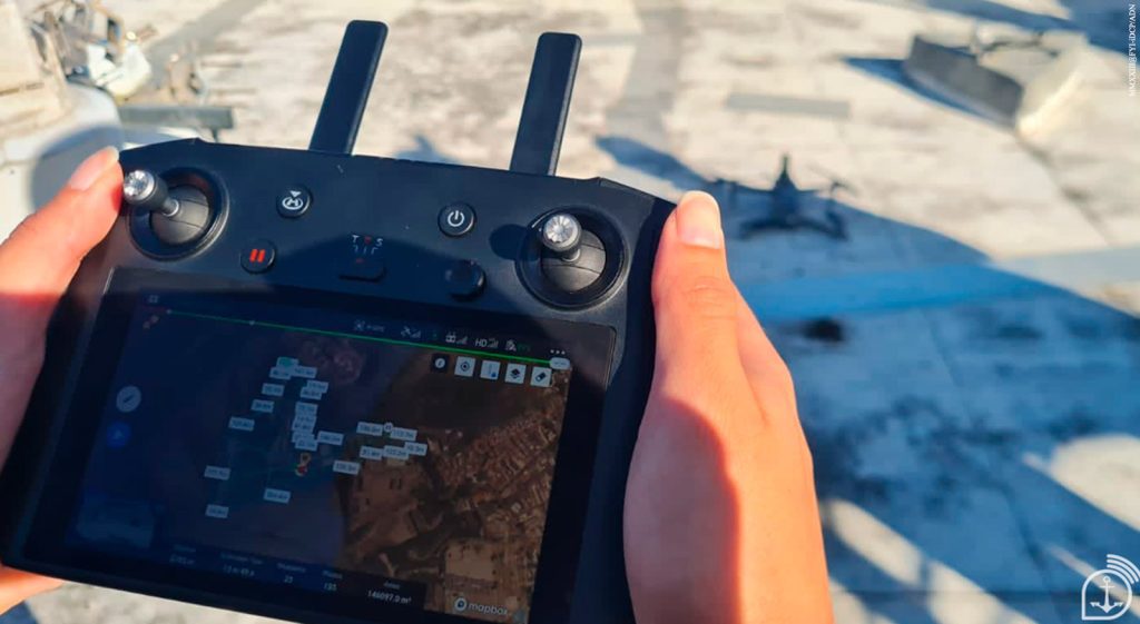
Since 2022, drones have been used by the CHM, through mosaics of images captured by the equipment. This boundary between sea and land is dynamic and constantly changing due to natural processes such as erosion and sedimentation. Data has already been collected in the following states: Rio de Janeiro, Alagoas, Santa Catarina, Bahia, Pernambuco and Rio Grande do Norte. In 2024, this work is expected to be carried out in Paraíba and Rio Grande do Sul.
Nautical charts
Nautical charts are cartographic documents that result from surveys of ocean areas, seas, bays, rivers, canals, lakes, lagoons, or any other navigable body of water and are intended to serve as a basis for navigation.
They exist in analog (paper) and digital (raster, geotiff or Electronic Nautical Charts) formats. According to the Maritime Authority Rules, vessels sailing in Brazilian Jurisdictional Waters must carry a nautical chart in some format, with exceptions depending on the size of the vessel or the purpose for which it is intended.
As the Brazilian Hydrographic Service, it is the responsibility of the Directorate of Hydrography and Navigation (DHN), through the Navy Hydrography Center, to keep all the nautical charts in Brazilian Jurisdictional Waters up to date. In addition to paper nautical charts, the CHM also produces raster charts and electronic nautical charts.
Source: Agência Marinha de Notícias *** Translated by DEFCONPress FYI Team ***