The platform’s objective is to organize and facilitate the use of marine geospatial data
Agência Marinha de Noticias – Brasília, DF
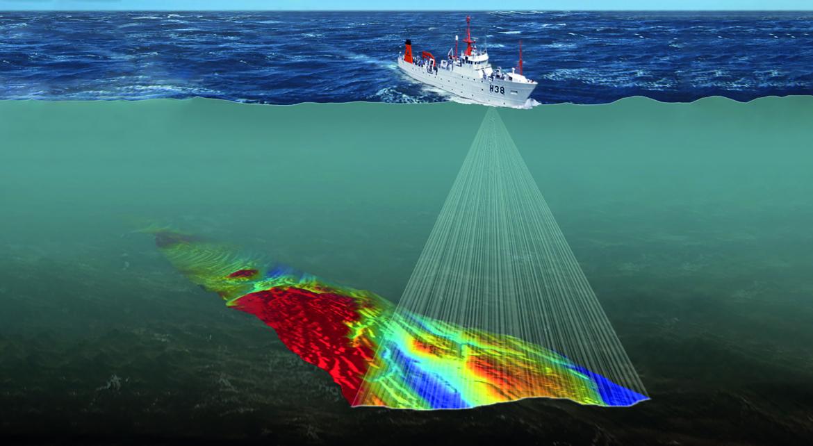
On the occasion of this year’s Hydrographic Day celebrations, the Directorate of Hydrography and Navigation (DHN) launched this October the Marine Spatial Data Infrastructure Geoportal, whose address is https://idem.dhn.mar.mil.br/. The platform allows any user with internet access to georeferenced information in an easy way, displayed by a map viewer and applied to the most varied purposes.
As an example, queries can be made to meteoceanographic data for operations planning or for use in scientific research. With this initiative, DHN aims to meet national and international commitments for marine environmental data exchange, among them
- The Action Plan for the Implementation of the National Spatial Data Infrastructure (NSDI), established by Decree No. 6666 of November 27, 2008;
- The Marine Spatial Planning (PEM) of the Blue Amazon, coordinated by the Interministerial Commission for the Resources of the Sea;
- To serve as the National Oceanographic Data Bank (BNDO), as established in the Decree of January 5, 1994;
- The requirements of the International Oceanographic Data and Information Exchange Program (IODE), of the Intergovernmental Oceanographic Commission – IOC of UNESCO; and
- The Marine Spatial Data Infrastructure Working Group (MSDIWG), promoted by the International Hydrographic Organization (OHI).
Source: Marine News Agency