Meteorologist collects data on land and at sea
By Lieutenant-Captain (RM2-T) Camila Marques de Almeida – Brasília, DF
Will it rain today? This is the most common question when we think about the weather forecast raised by meteorologists. The work of these professionals is of vital importance for national development and goes far beyond the estimate of a day of sunshine or rain, with impact on the agricultural, energy, water resources, aviation, health, and civil defense sectors.
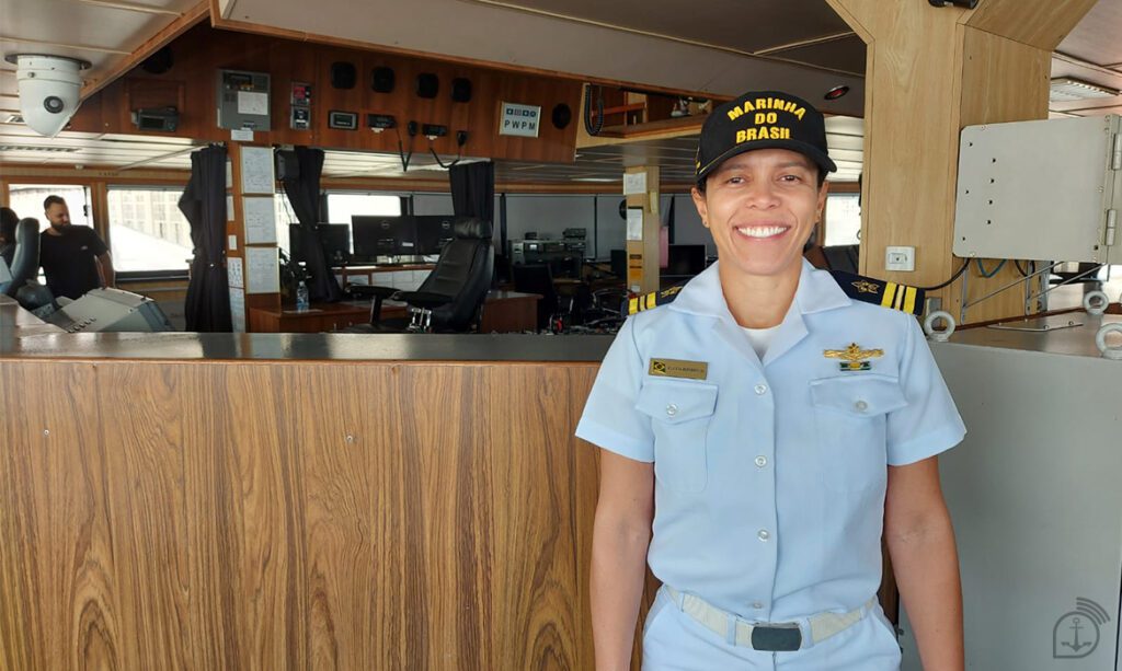
October 14th is the National Meteorologist Day, the date on which the profession was regulated in Brazil. The Marine News Agency interviewed Corvette Captain (Technical Staff) Flávia Rodrigues Pinheiro, meteorologist at the Navy Hydrographic Center (CHM), to learn more about the activity.
She received this year’s “Sovereignty through Science” award with a project focused on digital meteorological charts. The award is held by the Navy’s Directorate General of Nuclear and Technological Development since 2016 and the work “Meteorological Synoptic Chart in Editable Digital Format: innovation coupled with subjective quality” was the winner.
Taking advantage of the commemorative date of the Meteorologist Day, which is celebrated today, October 14, can you briefly explain how the meteorology professional works in the Brazilian Navy?
The meteorologist works directly on the safety of navigation, producing weather and sea forecasts that are disseminated both to the various commissions of the naval operational environment and to users and sailors in the civilian environment. These forecasts focus on warnings of bad weather concerning strong winds, heavy seas, swells, or even fogs. All these meteorological factors can make safe navigation impossible.
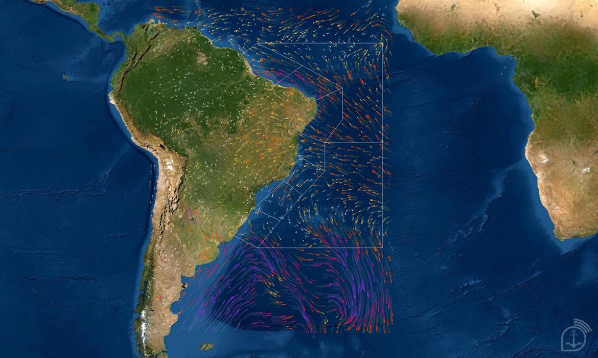
Earlier this year it received the “Sovereignty through Science” award. The winning proposal was for “Meteorological Synoptic Chart in Digital Editable Format: innovation allied to subjective quality”. Explain a little about what synoptic maps are.
Briefly, they are maps where cold fronts are represented, low pressure centers that originate them, eventual cyclones that may form in the ocean and areas of instability. Since September 2021, the charts have been produced automatically, using computer programs. The manual preparation time used to be around 90 minutes, while the current automated process takes around 10 seconds.
The detail is that the program still allows the intervention of the military, if their experience shows that the program was wrong in the positioning of a cold front or intensity of a cyclone, for example. Furthermore, the fact that the synoptic chart is digital has opened doors for the Brazilian Navy, because the final file has a totally friendly format to be inserted in geoportals and in the new e-navigation system, under development worldwide.
What can be observed in the synoptic chart in digital format that differs it from a traditional format. How often does the CHM publish the synoptic charts?
The synoptic charts are published twice a day. The digital format shows exactly the same weather features that would appear on the manual chart. The main difference is the preparation time, which goes from a ratio of hours to seconds, and its format, which is already enabling its use in the geoportal of the CHM, in the geoportal of the Ministry of Defense.
The target audiences are navigators from naval means, the Merchant Navy, civilian fishing and recreational vessels, and also academia. The CHM synoptic charts appear in several scientific articles and are a reference in the meteorological environment. The symbology used is easy to understand and can be accessed on the CHM website.
How does it feel to win the “Sovereignty by Science” award?
As a professional and lover of meteorology, this award made me feel proud of the product generated and of all the doors that it opened in the Navy and beyond. As a doctor, and still a researcher, receiving an award called “Sovereignty through Science” made me feel honored to show the strength and importance of research and the scientific mentality within the Navy, as these enable operational advances and improvements that only make our institution stronger and more sovereign.
Source: Agência Marinha de Notícias *** Translated by the DEFCONPress FYI team ***